Showing posts with label hiking. Show all posts

Wednesday, August 17, 2011

Hemlock Bluffs Nature Preserve - The Swift Creek Trail

The Swift Creek Trail
Difficulty: Easy
Distance: .8 miles
Location: Hemlock Bluffs Nature Preserve 
                2616 Kildaire Farm Rd. Cary, NC
Take I-40 to exit 293A onto 64W/1S Take exit 98A onto Tryon Road. Take a right onto Kildaire Farm road and the preserve will be on the right about a mile and a half down.

After visiting the nature center, we got on to the good stuff. A short hike. The preserve has about 3 miles of very well maintained trails. We hiked the Swift Creek Trail. Not sure how this creek got it's name, perhaps another section moves swiftly. What we saw was barely moving at all.
The trail is awesome. So well maintained! There are boardwalks over low-lying areas, stairs up and down steep parts of the trail and everything else is covered in gravel or mulch, so the surface stays really nice. No roots to worry about, no erosion troughs, just smooth, well-kept trail. Perfect for even the smallest and newest of hikers. Another feature of this trail was a series of several wooden platforms built out over the bluffs and overlooking the creek. The trail map shows where all of these features are on each trail, so you can choose accordingly.
The trail was really neat; it supports a unique blend of wildlife that you don't often find this far east in NC. It was like walking through a portal back to the mountains (except for the slow creek, mountain stream move much more swiftly.) The only caution I have is that just about every sign had a warning about copperhead activity. Copperheads are the only venomous snake in the preserve and according to the signs have been very active lately. Copperheads are also fairly aggressive snakes. As in, if you see one, back away, don't try to step over it, or go around it. Turn around and leave, if you get close enough to bite, they will feel threatened and try to defend themselves. That said, with all of the signage, I was kind of disappointed we didn't see any. Not that I want one blocking my path, but I would've liked to see one from afar. Although then I have to worry about Tot trying to pick it up, so maybe it's a good thing we didn't see any. We did, however see a young deer run across the trail and into the woods, which was a huge hit.
Great hike for kids, just keep your eyes open this time of year and be smart.  We'll go back.


Hemlock Bluffs Nature Preserve - Stevens Nature Center

This morning I read a post by Mom in Chapel Hill about Hemlock Bluffs Nature Preserve. Now being the recent mountain transplants that we are, this was irresistible. We love to hike. Tot begs to go hiking on a regular basis. Since the weather has turned cooler (NOT cool, just cooler, i.e. 86 today rather than 106) it was a perfect day to explore this fantastic hiking spot. Once we arrived, Mom's homesickness began to dissipate. The nature preserve is home to a unique ecosystem within the piedmont. The flora is reminiscent of the mountains. Within the forest are Eastern Hemlocks which are usually not found outside of the Appalachian Mountains, as well as galax and salamanders that are common to the west, but not anywhere in this part of the state. It's kind of neat knowing that only half an hour away we can visit a forest that feels like home.
The theory is that during the last ice age temperatures were (obviously) much cooler than they are today and that these types of forests were common throughout the region. As the area warmed up, different types of trees took over and the hemlock forests died off in the heat. The area that is now hemlock bluffs is cooler because of the north facing bluffs which provide a rare, cool, moist environment.
When you enter the preserve, you see a building which the Stevens Nature Center. Inside the Nature Center are exhibits that talk about the plant and animal life within the preserve. Tot enjoyed making animal footprints in the sand while looking cool in her movie star glasses.
The Nature center hosts a variety of nature programs for all ages. Cost varies depending on the program and whether you are Cary resident or not. We may try to attend one of the workshops; Tot would really enjoy it. However, unregistered siblings are not allowed. So for me to take her to the Nature Nuts program (for ages 3-5) Brother would have to stay home with Dad or Dad and Brother could come enjoy the preserve while Tot and I enjoy the class. For information about available programs click here.

Monday, July 18, 2011

Mount Mitchell State Park

Mount Mitchell Summit Trail
Difficulty: Easy
Length: 280 yards each way


Tot and Brother were both having a cranky afternoon and Mommy could tell they needed naps. Tot is a sleep fighter if there ever was a sleep fighter! If she can get up and move she will to keep from falling asleep. The only sure way to get her to nap is to buckle her in the car and drive. She can't move and usually falls asleep quickly, stays asleep for a couple of hours, and wakes up ready for adventure. So, this was what we did today. Around 3 pm, we all got in the car, Mom got on the Blue Ridge Parkway and headed north. We got a little way north of Asheville and it started raining, and there's nothing quite like the Parkway in the rain. You're high up, the clouds surround you and at times you even end up above the clouds and can watch it storm in a valley  below. It is truly awesome and an experience I recommend highly though not what this post is about.
As we drove we came to a sign that pointed toward Mt. Mitchell State Park. Mt. Mitchell is the highest point east of the Mississippi River and somewhere Mommy had not been in many years so she turned and thus began our accidental adventure. We woke up as Mommy pulled into a space near the summit trail. This is such an easy trail; Tot ran the entire way to the summit. It is a little steep, but very short, and paved the entire way. At the top is a new observation deck that opened in 2008 and I imagine on a clear day the view is amazing!


The Mountain is named for Dr. Elisha Mitchell a professor at UNC-Chapel Hill from 1818-1857 (GO HEELS!!!) who climbed the mountain a number of times to measure its altitude. He was killed when he fell over a waterfall climbing down the mountain and is now buried at its summit.


Check out Tot's mad photography skills. Not bad for a 2 year old. Mommy's mostly just impressed that no heads got chopped off, and the composition is even actually pretty good.

Friday, July 15, 2011

Cade's Cove Camping Trip

June 22-24 2011
Location: Cade's Cove is at the end of Little River Road in the Great Smoky Mountains National Park. You can also reach Cade's Cove by taking US 321 to TN 73 in Townsend, TN. Then following the signs into the park. Cade's Cove is about 9 miles from Townsend.

Our site: B71
Cade's Cove Campground is just like most of the campgrounds in the Great Smoky Mountains National Park. It is pretty big and pretty busy. The store in the campground is much bigger than at the other campgrounds. There is also a snack bar and souvenir shop next to the camp store. Abrams Creek runs along side the campground and while there aren't riverside sites our campsite was very close to the water and we were able to walk down to the Creek and play in the water for a bit. The campground is very nice, it's just not anything really special.


The real draw here is Cade's Cove itself. The eleven mile loop is open daily from sunup to sundown. On Wednesday and Saturday mornings, the loop is only open to bicycles until 10 am; other times bicycles, vehicles and pedestrians are welcome. Plan to take 2-3 hours to drive the loop as traffic moves slowly and there's lots to stop and see. We drove the loop several times during our stay and saw hundreds of deer and lots of bears as well. I believe on one trip around the loop we saw 16 bears in about an hour and a half.
There are several hikes in the area. We were going to try one, but by the time we got there exhaustion and whininess had set in (plus
Mommy had a ditzy moment with the baby pack - thought we forgot it, searched everywhere only to find it in the front seat when we got back to the car, sigh...) So we walked a short way down the trail toward Abrams Falls, but didn't make it far before Tot sat down in the middle of the trail, completely done. Bawled her eyes out and refused to get up. Daddy was fishing down below the trail and Mommy walked a little ahead to try to encourage Tot to get up and walk just a little further to the creek. Tot was having nothing to do with this plan and continued to sit and cry hysterically until Mommy came back and took her by the hand to lead her to the water. As Tot got up she saw, out of the corner of her eye a mother bear with two cubs and in between sobs managed to cry out, "Look Mommy, it's a bear!" Sure enough here came momma bear followed by her cubs down to the trail, back up into the woods, down to the trail, back up into the woods, down to the trail and off into the woods for good. We figured she was trying to get the creek but wanted to avoid people even more. And of course, the ever fearless Tot was trying with all of her might to pull away from Mommy and chase after the bear. "I want to take a picture, Mommy!! I want to take a picture!"


For more information or reservations, click here.

Cataloochee Valley

Beginning in 2001, the National Parks Service began a program to reintroduce the elk that once roamed wild in this part of the Great Smoky Mountains National Park. Today the elk are once again plentiful and can be seen in the valley early in the morning and late in the evening. There are also wild turkeys that live in the valley and can usually be spotted in the fields as you drive through and you might see the occasional bear come out of the woods. The Cataloochee Valley is in the part of the Park closest to our home so we visit more frequently than other parts of the Park. We can easily do an afternoon for a picnic, a splash in the creek, and then drive through and see the elk as they come down from the mountains in the evening before driving home. The kids get in bed a little later than usual, but it's not ridiculous, and not even enough to throw them off the next day.


Camping June 4-5 2011
Our site: 21
There is a small campground in Cataloochee and this the location of our first family camping trip of the summer. Since it was our first trip, and we weren't sure how it would go, we decided only to stay for one night.
In the evening we drove through the valley and looked for elk. We saw a few elk and some turkeys and then headed back to our campfire where we made hotdogs for dinner and s'mores for dessert (not a hit, by the way, who'd have thunk it?) We loved the campground; it's small and quiet. In the morning when we woke up, we heard an owl; Daddy walked to the stream with me while Mommy started a fire and we saw the owl swoop down and catch a fish out of the water.
The next day after packed up and had lunch we drove to the other end of the valley and I splashed in the creek for a few hours while Daddy relaxed streamside and Mommy and Brother went hiking. When Mommy got back she said she saw a rattlesnake stretched out across the trail and a bear in the woods next to the road. We had planned to stay until dusk, but it started raining not too long after Mommy got back so we packed it up early and headed home. We still saw some elk even though we headed home early. 
Definitely one of our favorite places!
For more information and reservations, click here.


Thursday, July 14, 2011

Roaring Forks Motor Nature Trail

The Roaring Forks Motor Nature Trail is a 6 mile, one way loop just outside of Gatlinburg, TN. The road is a beautiful drive and the location of several trailheads including Rainbow Falls, and Grotto Falls. To get there, turn at traffic light #8 in Gatlinburg, TN onto Cherokee Orchard Road. This road turns into the Roaring Forks Motor Nature Trail.


The "Place of a Thousand Drips" is at the very end of the road just before you start heading back into town. It is supposed to be amazingly beautiful when the weather has been especially wet.

Monday, July 11, 2011

Laurel Falls

About the Hike


Difficulty: Easy
Distance: 1.3 miles each way
Elevation Change: 450 feet
Location: Located in the Great Smoky Mountains National Park on Little River Road between Elkmont Campground and the Sugarlands Visitor Center. You can't miss it; there are cars parked along the road for miles on either side of the parking area. Laurel Falls is a VERY popular hike!

7.8.2011

We hiked to Laurel Falls this morning. It's a very good hike for my fellow tots. The trail is paved the entire way to the falls so there aren't roots and rocks to trip on. Lots of people try to bring strollers on this trail, though I wouldn't recommend that. The pavement is rough in places. Tell your moms and dads to hold you hand at the top though. The water is nice to play in, though cold, and there is a great bridge over the stream to get to the falls, however behind the bridge is a drop off over the lower part of the falls. There are warning signs everywhere telling people to stay back from the edges and parents to hold onto their kids. As long as you stay near the waterfall itself, and don't try to climb up the rocks, you can have a lot of good, safe fun at this waterfall.
On the way back down, several people hiking to the falls told us they saw a mother bear with her cub having a snack just off of the trail. By the time we got there, they'd moved on but you may get luckier and see some wildlife; this is, after all, the Smokies.

Sunday, July 10, 2011

Grotto Falls


About the Hike

Difficulty: Easy
Distance: 1.3 miles each way
Elevation Change: 585 feet
Location: Just outside of Gatlinburg, TN on the Roaring Forks Motor Nature Trail. From Gatlinburg, turn at traffic light #8 onto Airport Rd. This becomes the Motor Nature Trail. Grotto Falls trailhead is about 2 miles into the one way loop.


7.7.2011


Crossing the river with Daddy.

Hiked to Grotto Falls this evening. The trail climbs very slowly and gradually until the very end and then slopes down toward the falls. A few things for fellow tots to beware of. The trail crosses the Roaring Fork several times (4 or 5, I believe) without a a bridge. The water is not deep, it didn't even completely cover Mommy's foot and there are rocks that bigger kids and grownups can hop across. I was wearing waterproof sandals, but still had Daddy help me over or through the water. The trail is wide and well worn most of the way, with a few rocky patches that made for great climbing and jumping (while Mommy and Daddy held their breaths) . Since the ground is packed down so well however, it gets a little slippery when wet. Also the end of the trail as go down to the falls has a lot of slate and is very wet and slippery, so you'll probably need a helping hand. The waterfall is cool and beautiful however and felt great on a hot, muggy, July evening. It is several degrees cooler at the falls than at the trailhead.
Since we hiked in the evening we saw a couple of bunnies along the trail having dinner. We also saw a tiny golden salamander, no more than half an inch long, in the middle of the trail that scurried away as we approached him.

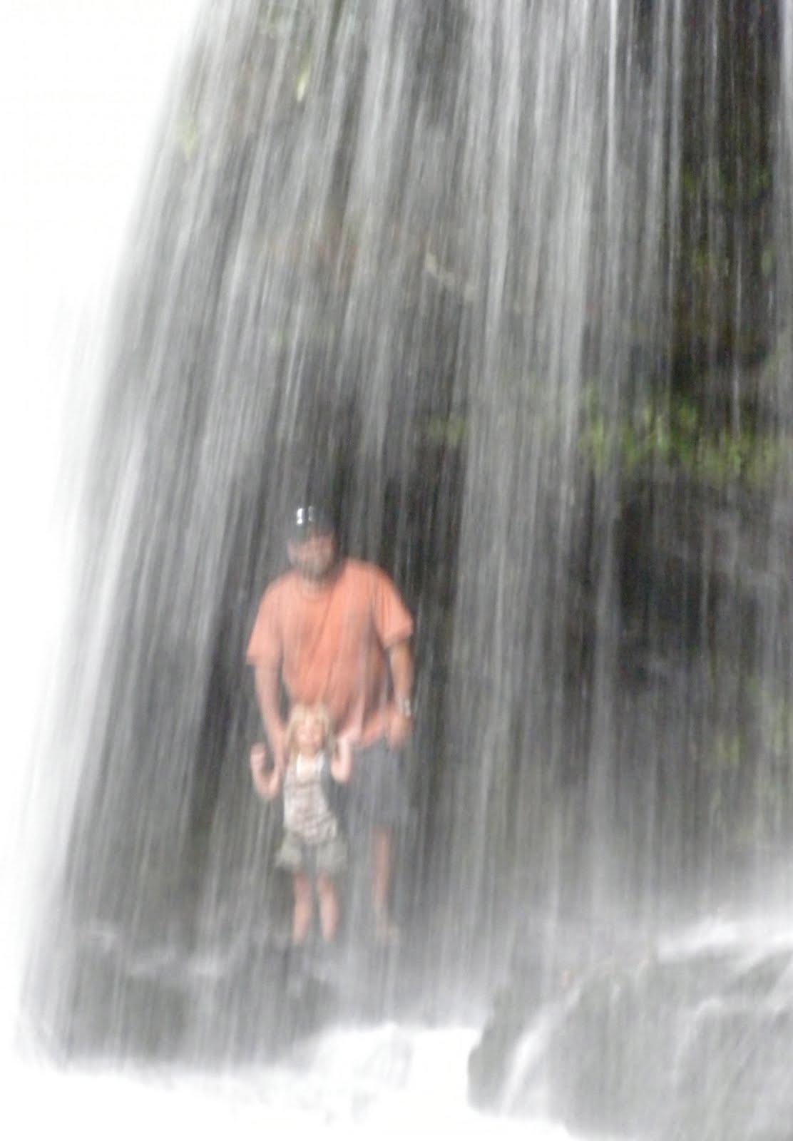
This is another waterfall that you can go behind, it plummets 25 feet over a rock cliff and is very loud behind the falls. Brother thought it was hilarious! He giggled the whole time we were behind it. It was a tough hike, but worth it!

Almost there!
Behind the waterfall.

Moore Cove Falls

The falls from the front . . .


About the Hike
Difficulty: Easy
Distance: 0.7 miles each way
Elevation Change: 160 ft
Location: Pisgah National Forest, outside of Brevard, NC. Approximately 6.5 miles into the forest on US 276 from Brevard. Parking is on the right just over a stone bridge over Looking Glass Creek. The trail begins with a wooden bridge over this creek.


. . . and behind.


6.12.2011

Resting along the trail.


The Traveling Tot, her brother, and her hiking buddy hiked to Moore Cove Falls for a picnic lunch. This is a really nice trail. Areas prone to getting muddy have wooden footbridges and boardwalks built over them, stream crossings have good bridges, and the trail is never very steep. At the end of the trail is Moore Cove Falls. The falls plunge 50 feet over a rocky cliff into a small pool below. The original plan was to do some creek splashing after lunch and while the three made a valiant effort, there's not a lot of creek to splash. What is fun about the falls is that there's lots of room to play behind the falls where a cool mist vanquishes the June heat. Definitely a great Tot hike!

Brother playing behind the falls.